View of wetland around Ergune River in China's Inner Mongolia

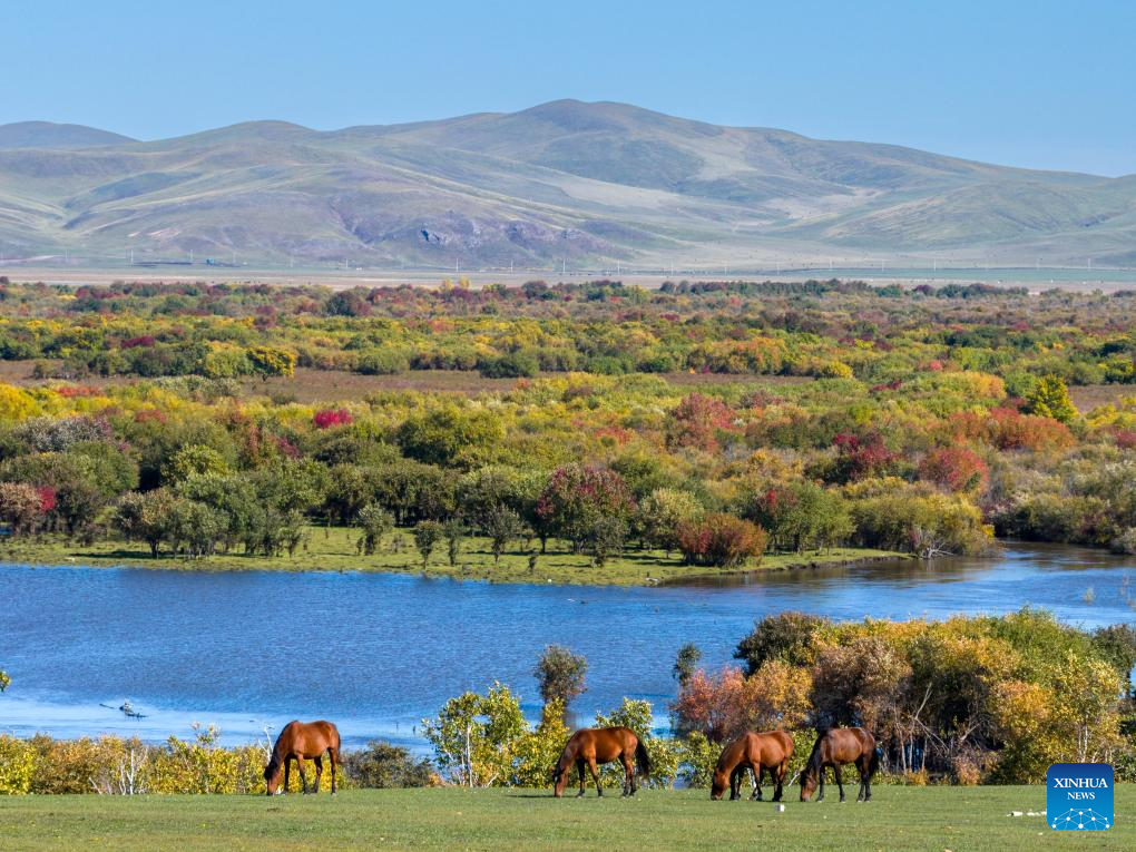
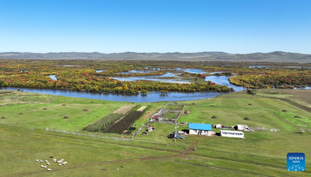
A drone photo taken on Sept. 15, 2025 shows horses grazing in the wetland around the Ergune River in Hulun Buir, north China's Inner Mongolia Autonomous Region. (Xinhua/Ma Jinrui)
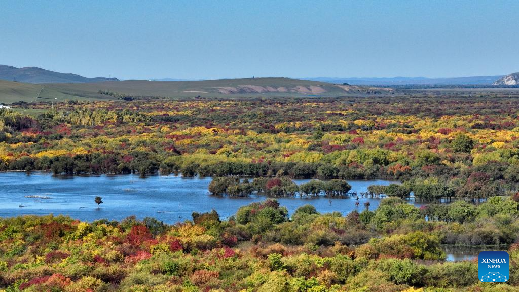
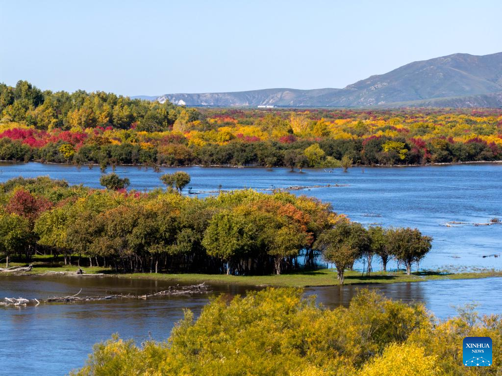
An aerial drone photo taken on Sept. 15, 2025 shows a view of the wetland around the Ergune River in Hulun Buir, north China's Inner Mongolia Autonomous Region. (Xinhua/Bei He)
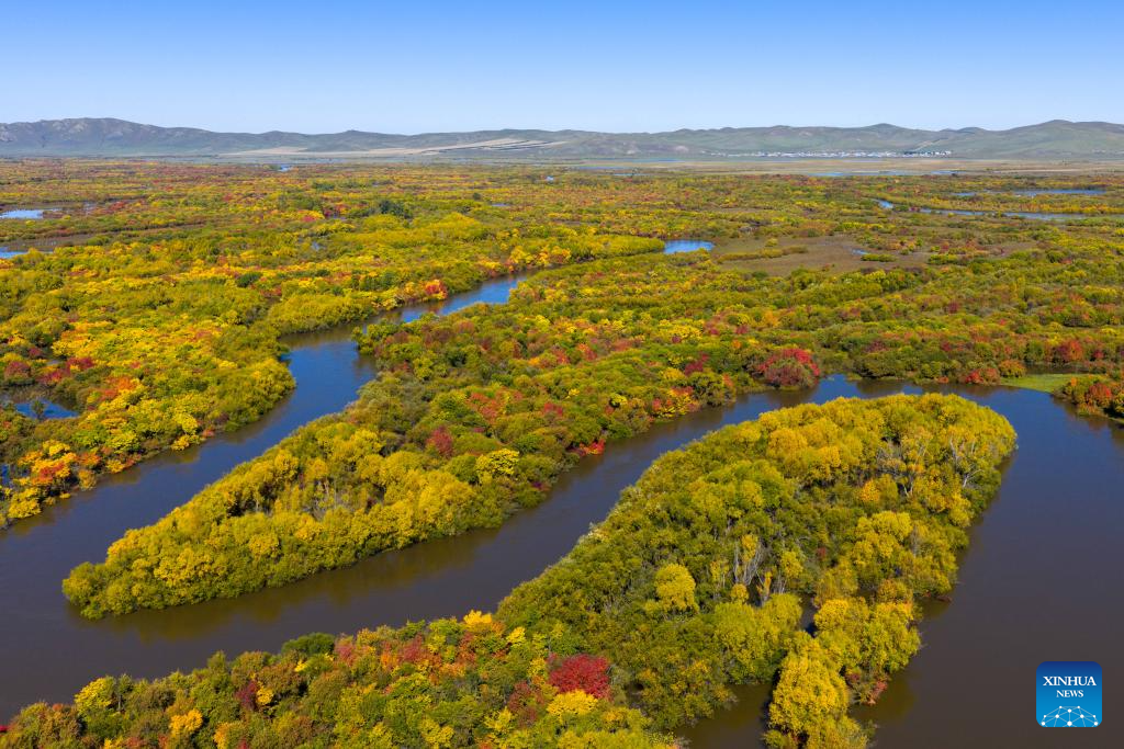
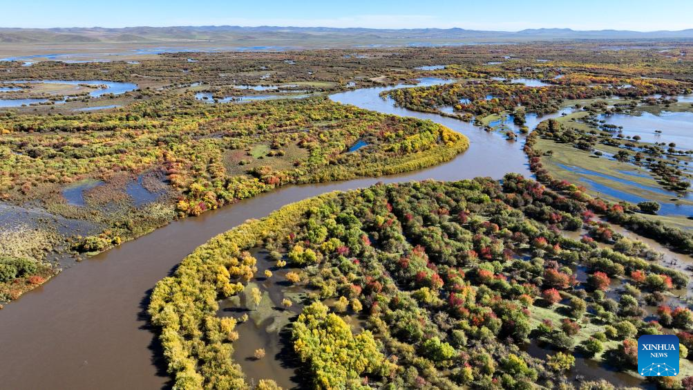
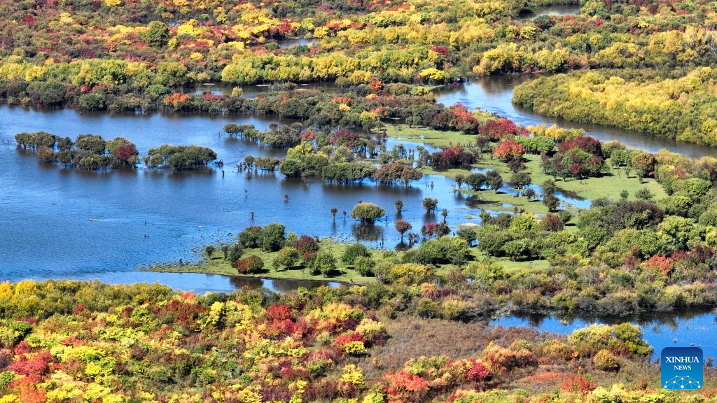
An aerial drone photo taken on Sept. 15, 2025 shows a view of the wetland around the Ergune River in Hulun Buir, north China's Inner Mongolia Autonomous Region. (Xinhua/Ma Jinrui)
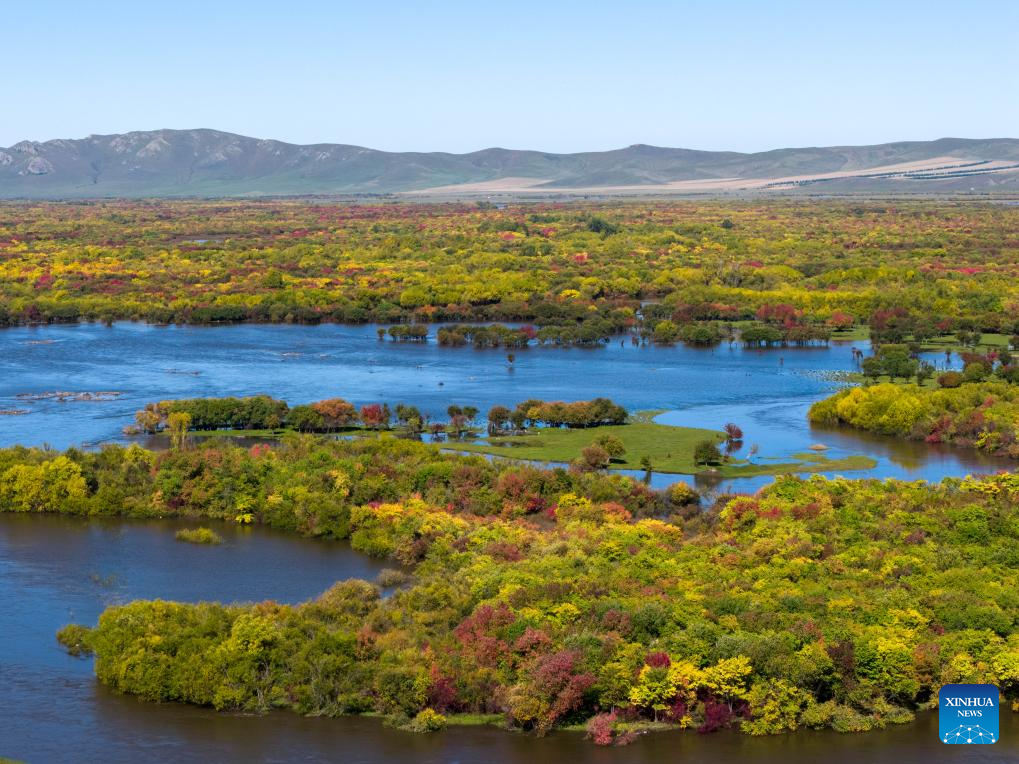
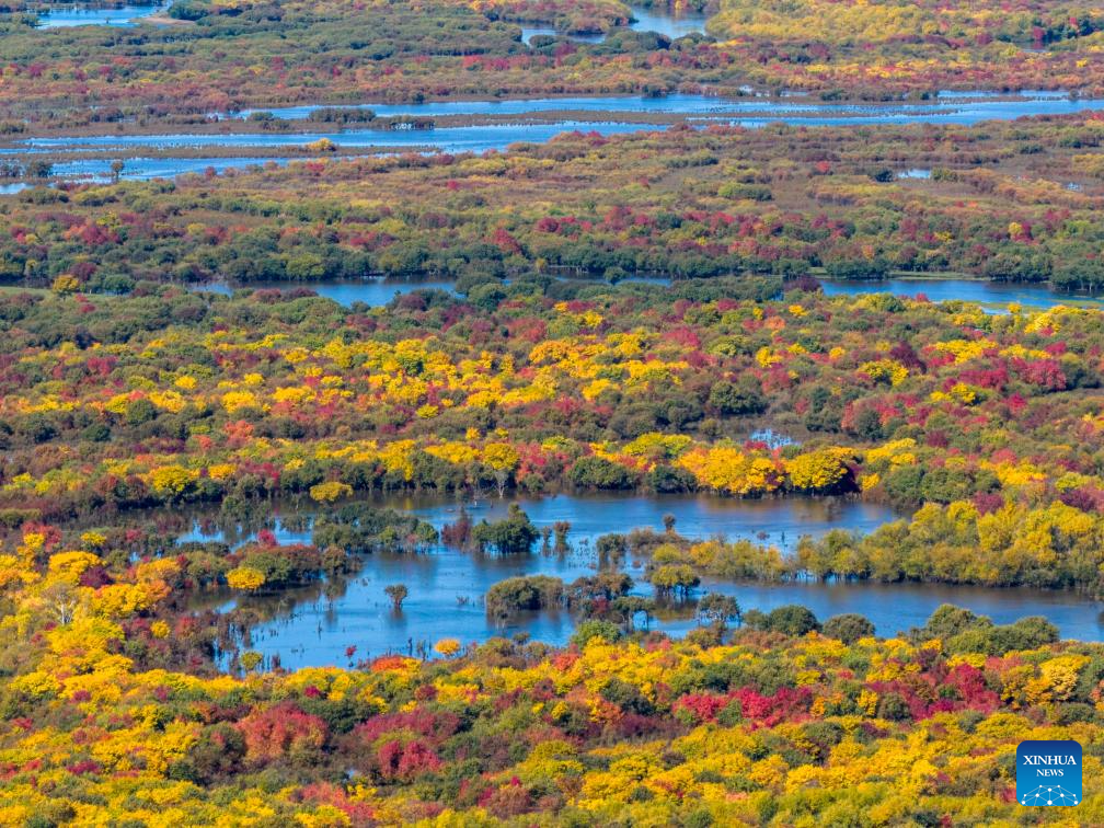
An aerial drone photo taken on Sept. 15, 2025 shows a view of the wetland around the Ergune River in Hulun Buir, north China's Inner Mongolia Autonomous Region. (Xinhua/Ma Jinrui)
An aerial drone photo taken on Sept. 15, 2025 shows a view of the wetland around the Ergune River in Hulun Buir, north China's Inner Mongolia Autonomous Region. (Xinhua/Ma Jinrui)
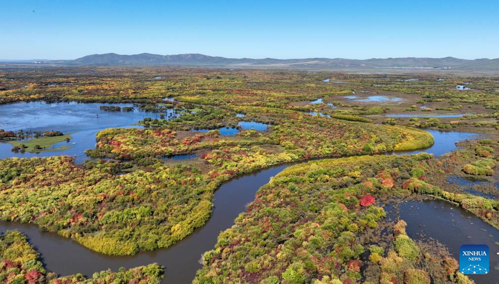
An aerial drone photo taken on Sept. 15, 2025 shows a view of the wetland around the Ergune River in Hulun Buir, north China's Inner Mongolia Autonomous Region. (Xinhua/Bei He)
An aerial drone photo taken on Sept. 15, 2025 shows a view of the wetland around the Ergune River in Hulun Buir, north China's Inner Mongolia Autonomous Region. (Xinhua/Bei He)
An aerial drone photo taken on Sept. 15, 2025 shows a view of the wetland around the Ergune River in Hulun Buir, north China's Inner Mongolia Autonomous Region. (Xinhua/Bei He)
An aerial drone photo taken on Sept. 15, 2025 shows a view of the wetland around the Ergune River in Hulun Buir, north China's Inner Mongolia Autonomous Region. (Xinhua/Bei He)
An aerial drone photo taken on Sept. 15, 2025 shows a view of the wetland around the Ergune River in Hulun Buir, north China's Inner Mongolia Autonomous Region. (Xinhua/Ma Jinrui)


